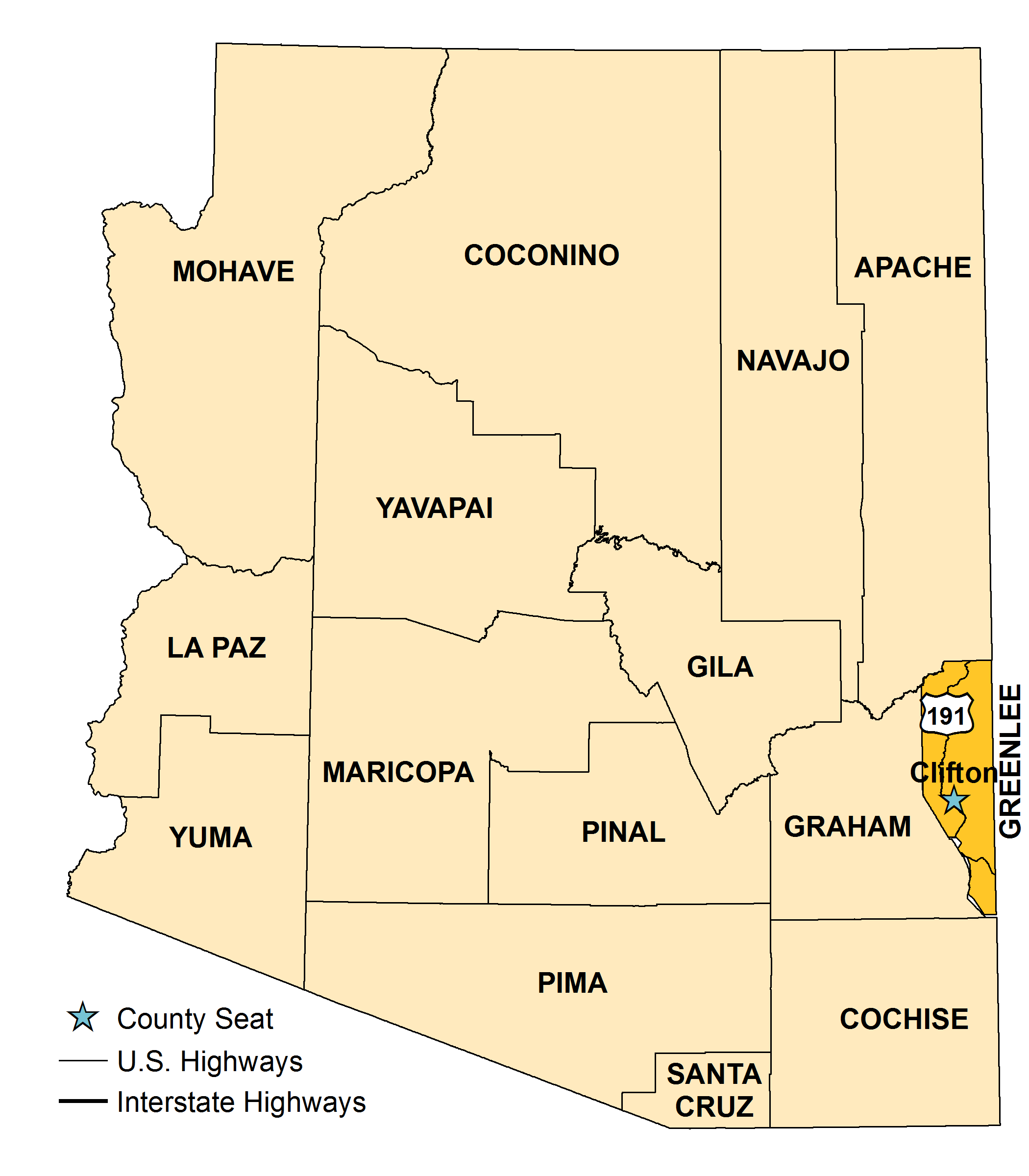


Greenlee County, Arizona’s 14th county, was created in 1909 by an act of the 25th Territorial Assembly. The county was formed from the eastern portion of Graham County and named for Mason Greenlee, an early settler in the Clifton area. There was significant resistance to the formation of the new county because Graham County would lose considerable revenue as a result. As a compromise, Greenlee County was considerably smaller than originally proposed. Clifton is, and has always been, the county seat.
Copper ore was discovered in the Clifton area in 1869, and claims and mines were established two years later. By 1918, most of the early copper mines – the King at Metcalf, the Longfellow claim near Clifton, the Shannon Copper Company holdings at Morenci – had been absorbed by the Arizona Copper Company. Later, Arizona Copper was purchased by Phelps Dodge Corp., which had developed its own mining and smelting interests in Morenci. Phelps Dodge merged with Freeport McMoRan, which remains a major employer in the county.
The topography consists of high mountain ranges, river valleys and desert terrain. The famed Coronado Trail (U.S. 191) twists and turns 117 miles from Clifton (elevation 3,466) north to Springerville in Apache County (elevation 6,856 feet) and affords breathtaking, panoramic views.
In addition to the major contribution copper makes to the county’s economy, ranching, agriculture and tourism are factors as well. Apache National Forest in the northern half of the county is home to deer, elk, antelope and bear. Hannagan Meadow, at 9,092 feet, and the Blue Range Primitive Area are popular for hunters and campers.
Greenlee County covers 1,848 square miles and is only one of three counties in Arizona without an Indian Reservation. The vast majority of land is government-owned. The U.S. Forest Service controls 64 percent; the U.S. Bureau of Land Management, 15 percent; the state of Arizona, 15 percent; individual or corporate ownership, only 7 percent and other public lands make up the remaining 1 percent.

| 2000 | 2010 | 2023 | |
|---|---|---|---|
| Arizona | 5,130,632 | 6,401,569 | 7,285,370 |
| Greenlee County | 8,547 | 8,440 | 9,593 |