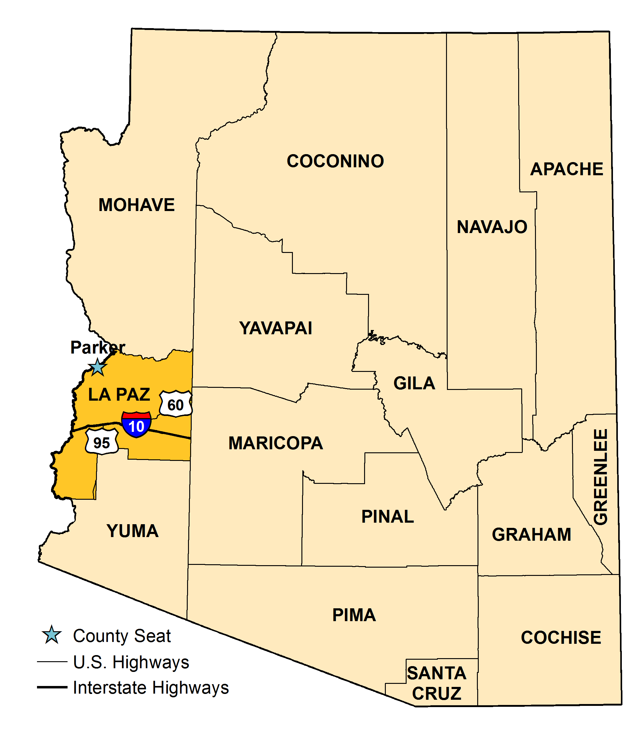


La Paz County was created Jan. 1, 1983, when Yuma County residents voted to split their county into two sections. It is the 15th of Arizona’s 15 counties, with Parker the county seat. La Paz, which means "the peace" in Spanish, has historic significance as the name of a boom town on the Colorado River.
The Colorado River town of La Paz was founded in 1862, after the discovery of rich gold deposits nearby. By 1863, there were 5,000 men working in the gold mines, making La Paz one of the largest settlements in what was to become the Arizona Territory. The decline of La Paz was caused by two factors – the mines dried up and the Colorado River gradually changed its course, which hurt trade in the area.
In addition to Parker, the river town of Ehrenberg, and inland towns of Bouse, Quartzsite and Salome/Wenden in McMullen Valley are located in La Paz County. The county’s rugged landscape and the Colorado River attract thousands of visitors annually, making tourism the county’s largest industry.
La Paz County encompasses 4,518 square miles and has 30 square miles of water. It is the third smallest of Arizona’s counties and has the lowest population density with almost five people per square mile. The U.S. Bureau of Land Management controls 58 percent of the land; the state of Arizona, 9 percent; other public lands, 20 percent; and 5 percent of the land is owned privately or by corporations. The Colorado River Indian Tribe owns 8 percent of the land.

| 2000 | 2010 | 2023 | |
|---|---|---|---|
| Arizona | 5,130,632 | 6,401,569 | 7,285,370 |
| La Paz County | 19,715 | 20,495 | 16,820 |